


HLY2401
July 1 to August 1, 2024
shipboard ADCP data
July 1 to August 1, 2024
shipboard ADCP data
 |
 |
|
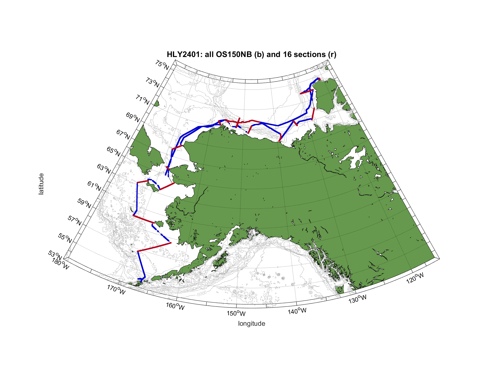
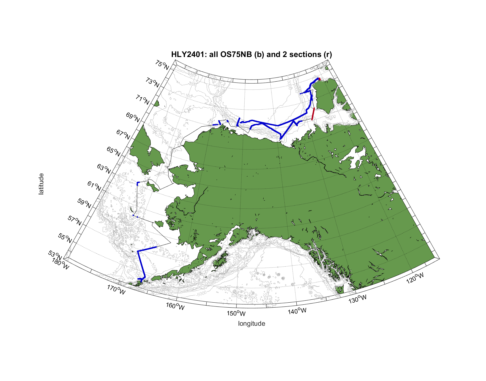
Shipboard ADCP data were collected throughout the cruise with a |
| Sections: OS150NB | ||
| St George | sectsgeo_os150nb_dt_df.mat | |
| St Matthew | sectsmt_os150nb_dt_df.mat | |
| DBO 1 North | sectdbo1n_os150nb_dt_df.mat | |
| St Lawrence northeast | sectslne_os150nb_dt_df.mat | |
| Bring Strait | sectbs_os150nb_dt_df.mat | |
| DBO3 | sectdbo3_os150nb_dt_df.mat | |
| DBO5 | sectdbo5_os150nb_dt_df.mat | |
| DBO6 | sectdbo6_os150nb_dt_df.mat | |
| Prudoe Bay | sectprb_os150nb_dt_df.mat | |
| Mackenzie Canyon | sectmck_os150nb_dt_df.mat | |
| Tuktoyaktuk | sectTUK_os150nb_dt_df.mat | |
| Amundsen Gulf mouth | sectAGM_os150nb_dt_df.mat | |
| Banks Island | sectBNK_os150nb_dt_df.mat | |
| M’Clure Strait | sectmcl_os150nb_dt_df.mat | |
| Barrow Canyon Mouth | sectbcm_os150nb_dt_df.mat | |
| Ice XBT | sectice_os150nb_dt_df.mat |
| Sections: OS75NB | ||
| Amundsen Gulf mouth | sectAGM_os75nb_dt_df.mat | |
| M’Clure Strait | sectmcl_os75nb_dt_df.mat |
|
All sections were combined into the file hly2401_sadcp_allsects.zip |
| Full cruise files: | ||
| OS150NB, Dan format | hly2401_all_os150nb_dt_df.mat | |
| OS75NB, Dan format | hly2401_all_os75nb_dt_df.mat | |
| OS150NB, Frank format | hly2401_all_os150nb_dt.mat | |
| OS75NB, Frank format | hly2401_all_os75nb_dt.mat |
|
References: Firing, E., J.M. Hummon, and T.K. Chereskin. 2012. Improving the quality and accessibility of current profile measurements in the Southern Ocean. Oceanography 25(3):164–165, https://doi.org/10.5670/oceanog.2012.91. Egbert, Gary D., and Svetlana Y. Erofeeva. "Efficient inverse modeling of barotropic ocean tides." Journal of Atmospheric and Oceanic Technology 19.2 (2002): 183-204. |